


Piecing Together Our National Treasures
A Cartographic Celebration of Britain's Protected Landscapes
For centuries, Ordnance Survey maps have guided explorers through Britain's diverse landscapes. Today, they offer a different kind of adventure—one that unfolds on dining tables and in cosy living rooms across the nation.
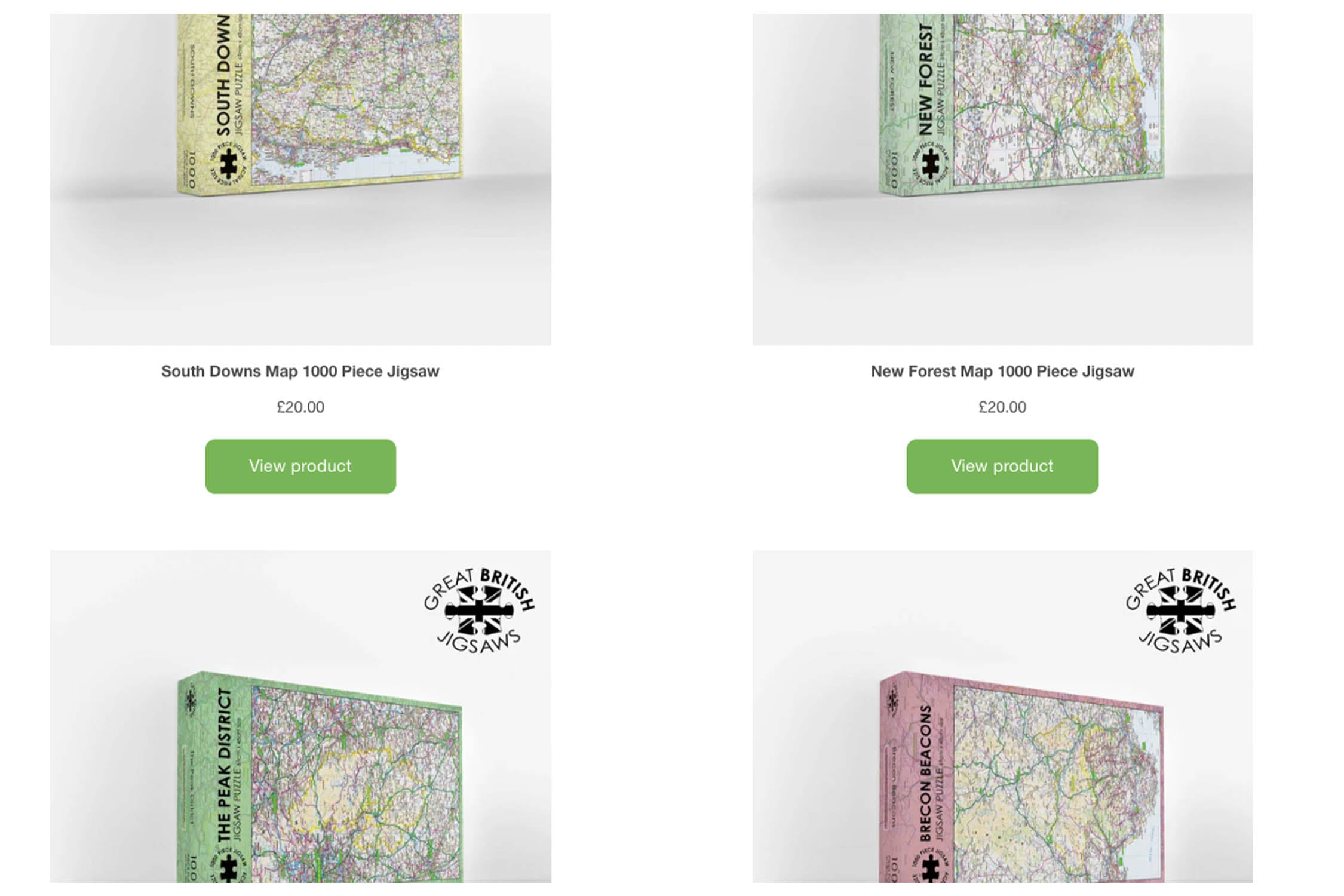
Pieceful Maps, produced by Great British Jigsaws, has revolutionised how we engage with our natural heritage through their exquisite collection of National Park map jigsaws. Each 1,000-piece puzzle (69cm x 48cm when completed) transforms official OS road mapping into a tactile exploration of Britain's most treasured landscapes.
Crafted entirely in Britain using premium recycled board with a unique lustre finish, these puzzles represent both a celebration of our countryside and a triumph of British manufacturing.
The Art and Craft of Map Puzzling
Precision Meets Passion
The creation of each puzzle begins with Ordnance Survey's definitive 1:250,000 scale data, reproduced under the Open Government Licence. This specific scale was chosen to perfectly frame entire national parks while maintaining settlement clarity—showing every village, road, and park boundary without terrain clutter.
Unlike standard picture puzzles, these map jigsaws offer multiple layers of engagement.
As Jason and Kathy Cornish (founders of Great British Jigsaws) note: "We've transformed armchair exploration into geographical mastery—where else can you conquer Snowdonia before breakfast and picnic in the New Forest by teatime?"
Britain's National Parks: A Tapestry of Landscapes
Fifteen Parks, Fourteen Puzzles, One Unforgettable Journey
Britain's national parks represent over 70 years of conservation history, protecting 10% of our land area. Pieceful Maps' collection beautifully captures their diversity through specially curated road mapping:
Britain's National Park Diversity
| Landscape Type | Representative Parks | Signature Features |
|---|---|---|
| Mountain Kingdoms | Cairngorms, Snowdonia | Highest peaks in Scotland/Wales |
| Coastal Wonders | Pembrokeshire, Northumberland | Longest coastal paths/cliffs |
| Historic Moors | Dartmoor & Exmoor, Yorkshire Dales, Peak District | Bronze Age sites & literary landscapes |
| Water Worlds | Norfolk Broads, Loch Lomond | Largest wetland/lake systems |
| Pastoral Havens | New Forest, South Downs | Ancient woodlands & chalk downlands |
The collection's unique structure includes Dartmoor and Exmoor combined on a single puzzle—a nod to their geographical proximity and contrasting characters (Dartmoor's inland wilderness vs Exmoor's coastal heights). Each park tells its own conservation story:
-
Peak District (1951): Where the Kinder Trespass sparked Britain's right-to-roam movement
-
Brecon Beacons (1957): Home to Europe's largest waterfall concentration and Dark Sky Reserve
-
South Downs (2009): Britain's newest national park protecting 85-million-year-old chalk formations
The Mindful Cartographer: Benefits Beyond Assembly
Puzzling these OS maps delivers profound cognitive and emotional benefits that elevate them beyond ordinary pastimes:
Educational Enlightenment
-
Geographical Literacy: Understanding scale, symbols, and spatial relationships
-
Historical Context: Tracing Roman roads or medieval commoning tracks
-
Conservation Awareness: Recognising protected boundaries and habitats
Psychological Restoration
-
Digital Detox: 8-12 hours of screen-free immersion per puzzle
-
Achievement High: Dopamine release upon completing complex sections
-
Flow State: The "puzzler's trance" during boundary-connecting sessions
-
Stress Reduction: Meditative focus induced by colour-coded road assembly
Neuroscience research confirms that map puzzling engages multiple brain regions simultaneously—spatial reasoning, pattern recognition, and memory recall—creating neural pathways that may protect against cognitive decline. As one puzzler noted: "Assembling these landscapes piece-by-piece is like mindfulness meditation with geographical purpose."
From Puzzle to Adventure: Planning Real-World Exploration
The magic of these map jigsaws lies in their ability to inspire actual adventures:
Strategic Trip Planning
Completed puzzles transform into practical travel tools:
-
Preserve with puzzle conservation glue
-
Frame in deep-rebate box frames
-
Annotate using dry-wipe markers on glass
-
Navigate using newly memorised landscape patterns
Iconic Routes to Explore
| National Park | Signature Route | Experience |
|---|---|---|
| Snowdonia | A4086 through Llanberis Pass | Mountain amphitheatre drive |
| North York Moors | A169 "Hole of Horcum" road | Heather moorland crossing |
| Norfolk Broads | River Ant canoe trail | Otter-spotting water trail |
| Cairngorms | A939 "Snow Roads" scenic route | Britain's highest public road |
| South Downs | A286 vineyard trail | Wine-tasting through rolling chalk hills |
The 1:250,000 scale proves ideal for road trip planning—it maintains settlement clarity while showing how parks connect to surrounding towns. As noted in OS Puzzle Book reviews, this scale helps develop "advanced wayfinding skills and terrain interpretation abilities."
Conservation Through Consumption
Every Pieceful Maps purchase supports the landscapes depicted:
-
Moorland Conservation: Contributions to Dartmoor & Exmoor preservation charities
-
Access Initiatives: Supporting Peak District "right to roam" education
-
Dark Sky Protection: Funding for Northumberland light pollution reduction
-
Woodland Restoration: Donations to New Forest ancient tree programmes
The Open Government Licence represents a commitment to landscape democracy. By making OS data publicly accessible, these puzzles become tools for public engagement with protected environments.
The Complete Collection: Britain in 14 Puzzles
Assembling all 14 puzzles creates an unparalleled geographical education:
Curatorial Display Ideas
-
Geographical Gallery: Arrange puzzles in UK map formation
-
Thematic Groupings: Cluster coastal/mountain/forest parks
-
Rotating Exhibition: Interchange frames seasonally
-
Educational Atlas: Use preserved puzzles as teaching tools
Collection Highlights:
-
Peak District: Where Britain's national park movement began
-
Lake District: UNESCO World Heritage mountains
-
Dartmoor & Exmoor: Mystical moors with prehistoric landscapes
-
Brecon Beacons: Waterfall wonderland and literary country
-
Cairngorms: Britain's Arctic wilderness
"The completed collection isn't just puzzles—it's a portrait of our national soul," notes a National Parks Trust ambassador. "Each park piece connects us to landscapes that define our islands."
The Enduring Allure of Map Puzzles
In our digital age, Pieceful Maps achieve something remarkable: they make geography tangible. The physical act of connecting a road in Bakewell to a river in Buxton creates neural connections no app can replicate. These puzzles represent mindful patriotism—a chance to celebrate Britain's diverse landscapes while supporting their conservation.
As Great British Jigsaws continues its mission, their partnership with Ordnance Survey has created more than products—they've sparked a national conversation about place, memory, and discovery. Whether you're tracing the Pennine Way in the Peak District or locating coastal villages in Pembrokeshire, each puzzle piece brings Britain's story into sharper focus.
In the words of a dedicated puzzler: "These maps taught me landscapes I'd walked for decades—I thought I knew Dartmoor until I pieced it together." That revelation—that there's always more to discover about places we love—is the enduring gift of this collection.
Britain's landscapes await—one piece, one park, one precious moment of discovery at a time.
Discover the complete Pieceful Maps collection
Latest Product Reviews

A Proud Kase UK Partner
The use of high quality glass filters for landscape photography is quite simply game changing and will improve your resulting images. I am happy to talk filters and help you get started, start a conversation here
