Brecon Beacons National Park (Bannau Brycheiniog) 1000 Piece Jigsaw
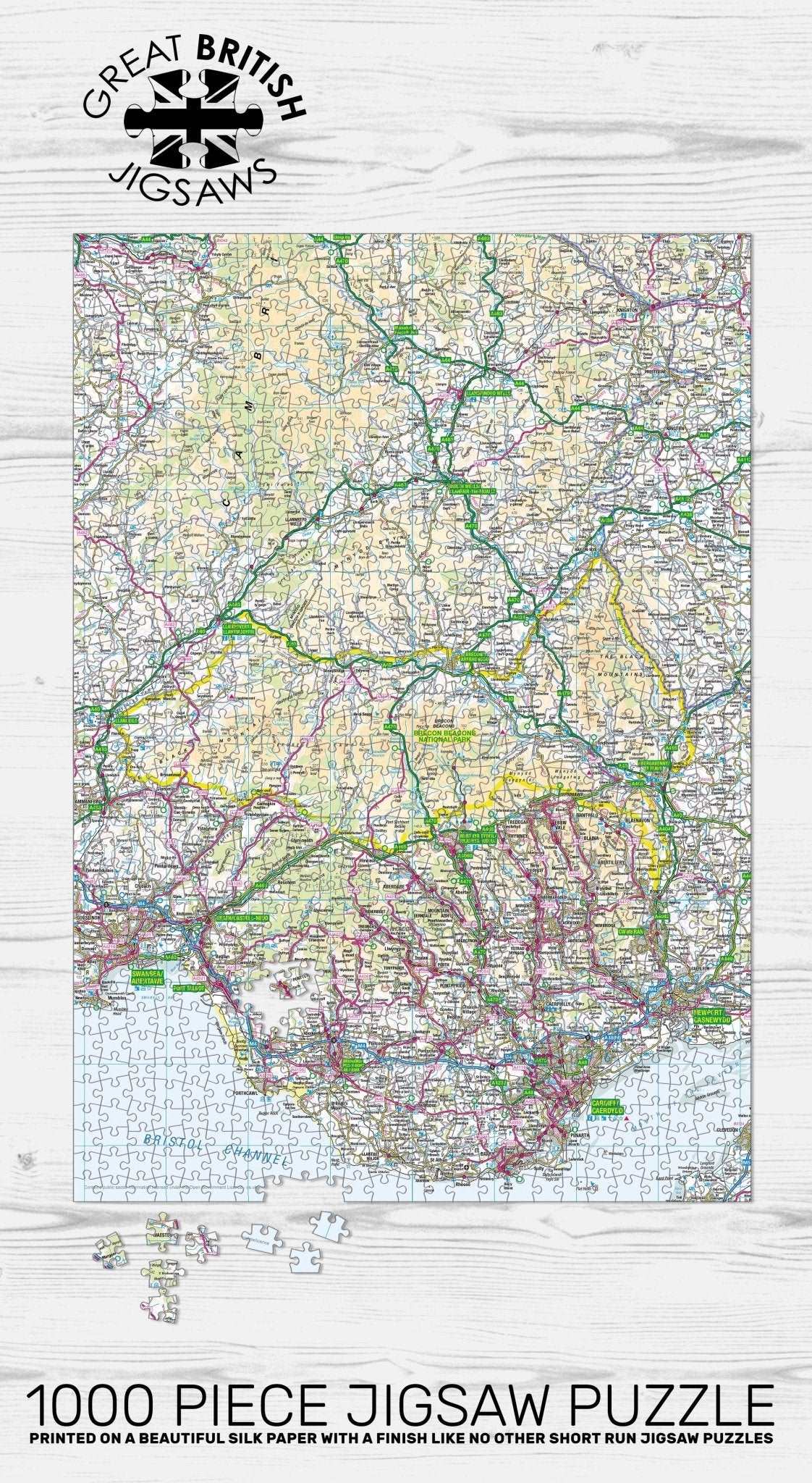
Discover the rolling hills and dark skies of South Wales with the Pieceful Maps Brecon Beacons 1000-Piece Jigsaw Puzzle. Officially known as Bannau Brycheiniog, this national park is a breathtaking expanse of rugged peaks, moorland, and waterfalls. This map jigsaw uses authentic Ordnance Survey mapping, with a scale carefully chosen to fit the entire Brecon Beacons National Park boundary onto a single puzzle. You get a complete overview of this 1,344 square kilometre landscape, packed with hundreds of place names, roads, rivers, and geological features. The scale is the same as a standard roadmap, so you will see the major routes and settlements, but not the hyper detailed footpaths and contours that walkers might need on the ground. That makes this puzzle a perfect balance of challenge and readability, ideal for map lovers and jigsaw enthusiasts.
As you sort and assemble the 1000 pieces, you will navigate the central mountain range, scaling Pen y Fan, the highest peak in South Wales at 886 metres. The Ordnance Survey mapping clearly shows the four main mountain ranges of the park. To the south, the sandstone hills of the Black Mountain. To the east, the peak of Fan Brycheiniog. In the centre, the Brecon Beacons themselves, with Pen y Fan and Corn Du. To the west, the Fforest Fawr Geopark, with its limestone pavements, deep caves, and waterfalls. The map captures the geology of this UNESCO Global Geopark, from the sinkholes to the underground rivers that emerge at places like the famous Sgwd yr Eira waterfall, where you can walk behind the cascading water.
The puzzle includes all the major roads, such as the A40 that runs along the southern edge of the park, and the A470 that cuts through the centre from Brecon to Merthyr Tydfil. You will spot the charming towns of Brecon, with its cathedral and canal, and Crickhowell, a picturesque market town at the foot of the Black Mountains. The map also shows the Monmouthshire and Brecon Canal, which runs along the Usk Valley, and the many reservoirs that supply water to South Wales, including the Usk Reservoir and the Talybont Reservoir.
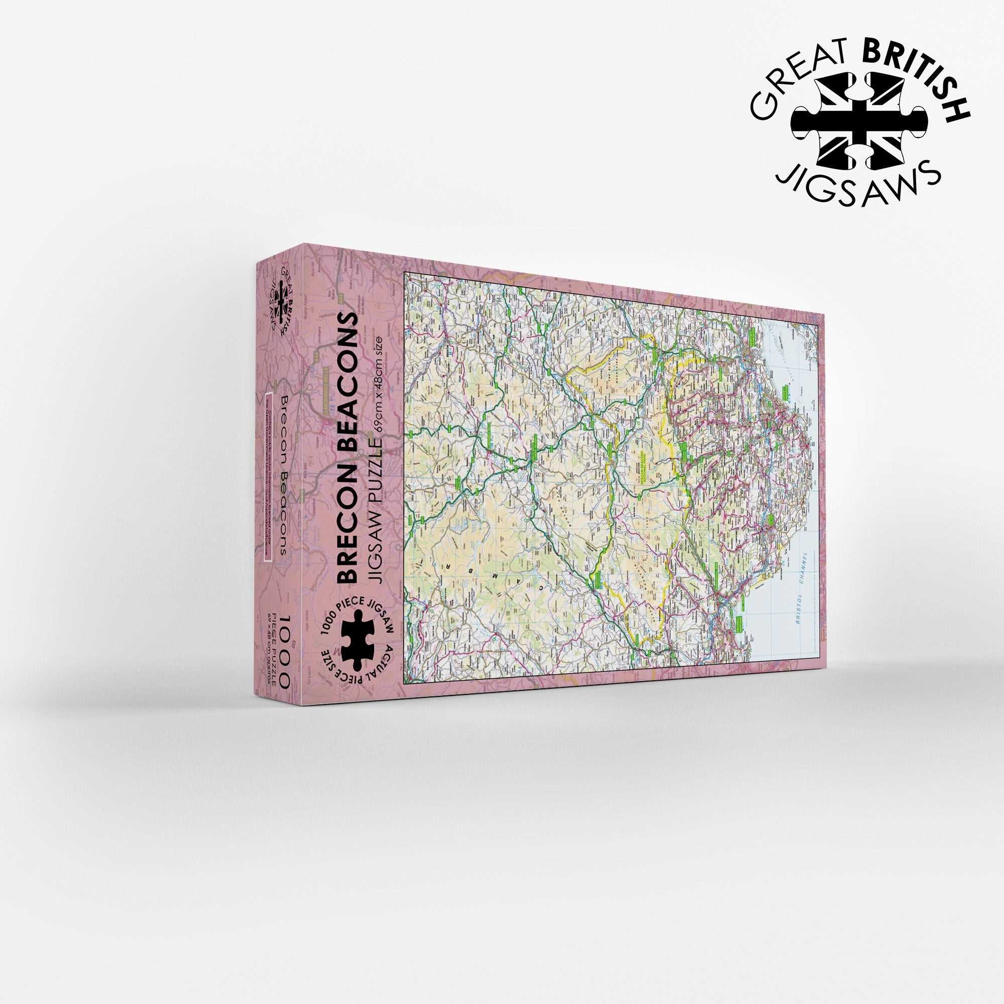
The Ordnance Survey mapping brings this landscape to life, from the grassy ridges of the Beacons to the forested slopes of the Valleys. The scale ensures that the whole park fits neatly onto the 1000 pieces, measuring 69cm by 48cm when completed. This puzzle is a wonderful gift for hikers, stargazers (the park is an International Dark Sky Reserve), and anyone who loves the wild heart of Wales. It offers a quiet, satisfying challenge for a rainy afternoon. Contains public sector information licensed under the Open Government Licence.
Measures: 69cm x 48cm when completed
Contains public sector information licensed under the Open Government Licence – os.uk/opendata/licence
| Weight | 0.5 kg |
|---|