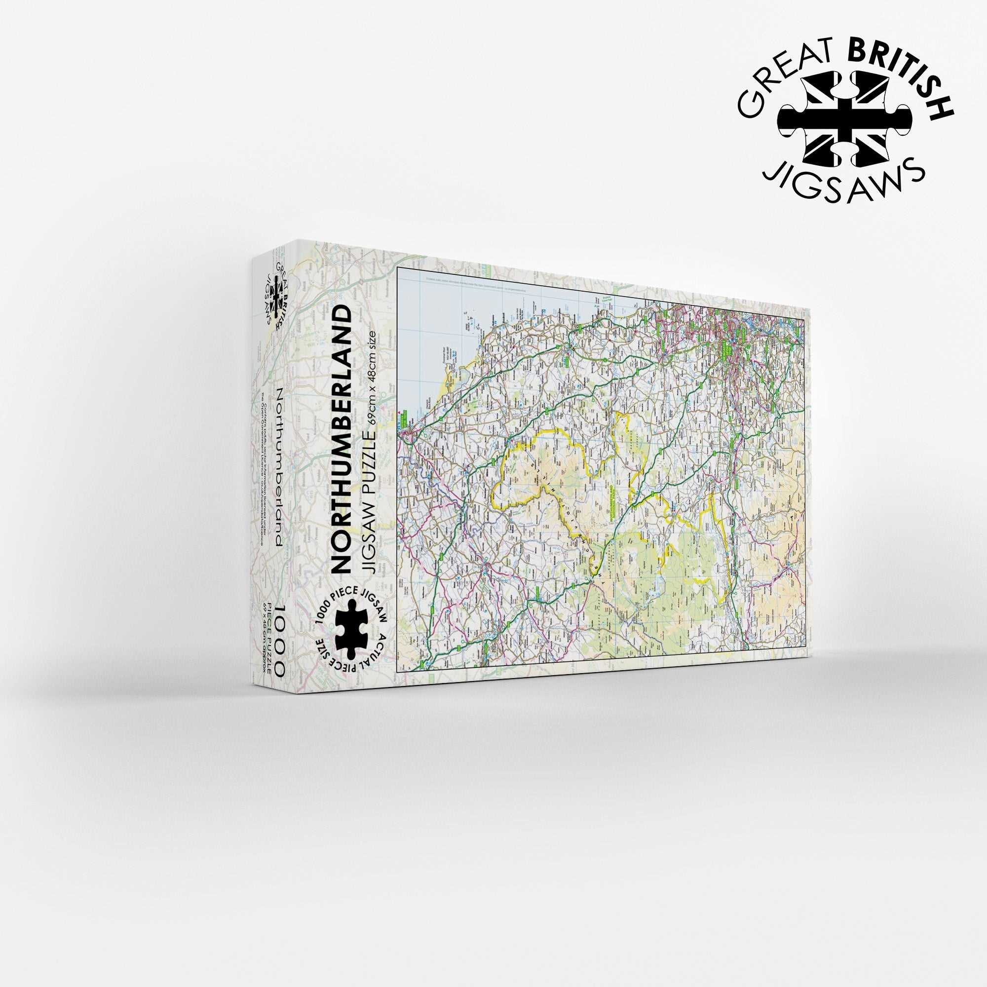
Northumberland Map 1000 Piece Jigsaw
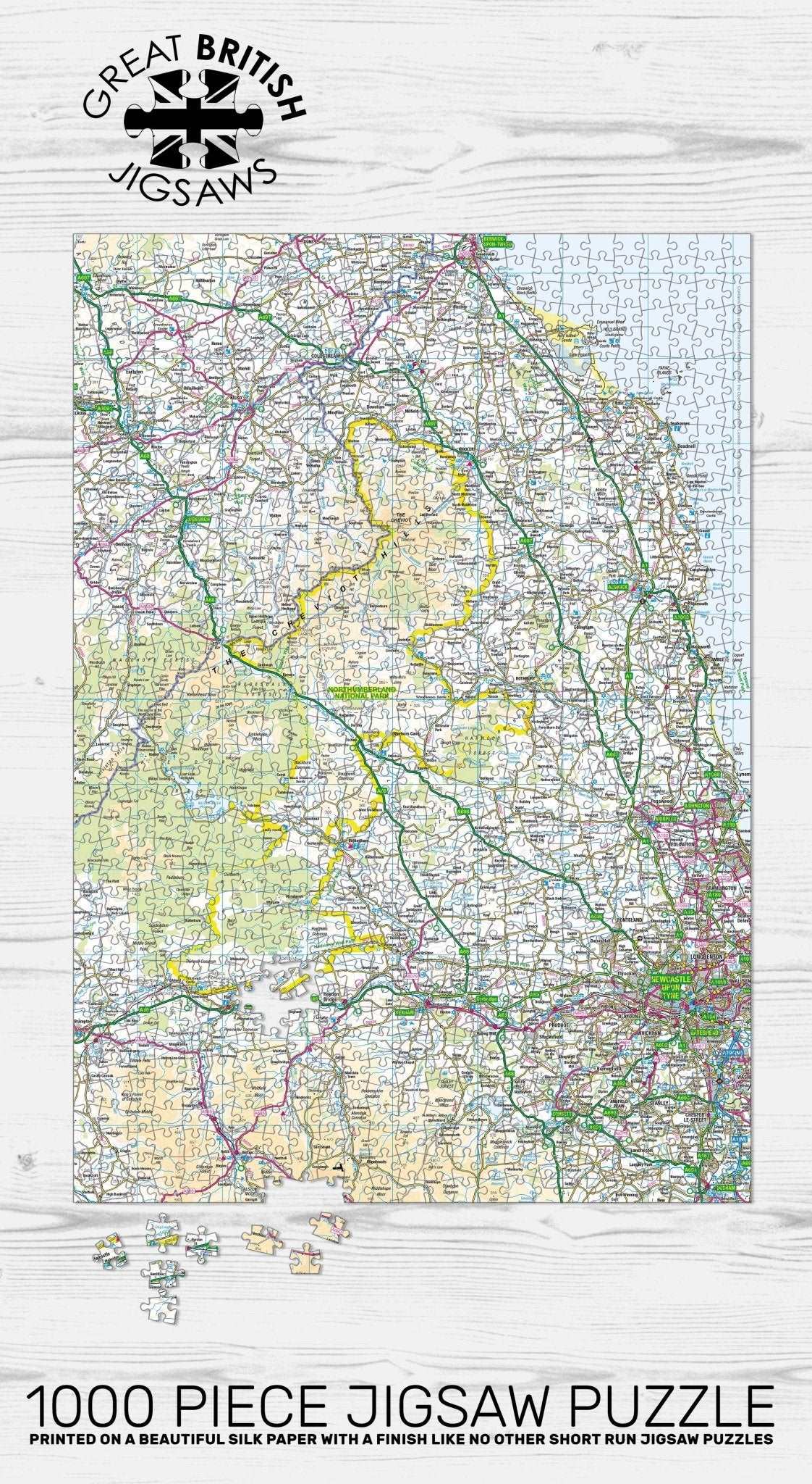
Escape to the wide open skies and dark heavens of the North with the Pieceful Maps Northumberland 1000 Piece Jigsaw Puzzle. England’s most tranquil location, Northumberland National Park, is a place of wild moorlands, rolling Cheviot Hills, and the cleanest air and rivers in the country. This Ordnance Survey map jigsaw allows you to discover the magic of the borderlands, using a scale carefully chosen to fit the entire Northumberland National Park boundary onto a single puzzle. You get a complete overview of this 1,049 square kilometre landscape, packed with hundreds of place names, roads, rivers, and historical features. The scale is the same as a standard roadmap, so you will see the major routes and settlements, but not the hyper-detailed footpaths and contours that walkers might need. That makes this puzzle a relaxing yet engaging challenge, perfect for map lovers and history enthusiasts.
As you assemble the 1000 pieces, you will trace the iconic route of Hadrian’s Wall, a UNESCO World Heritage Site that runs east to west across the southern part of the park. The Ordnance Survey mapping clearly shows the line of the wall, the milecastles, and the Roman forts such as Housesteads and Vindolanda. You will explore the remote uplands of the Cheviot Hills, which form the natural border between England and Scotland. The highest point, The Cheviot, is clearly marked, along with the dramatic valleys of the College Valley and the Harthope Valley, known for their wild beauty.
The puzzle includes all the major roads, such as the A68 that crosses the park at Carter Bar, a traditional border crossing point, and the B6318, which runs along the line of Hadrian’s Wall and is known as the Military Road. You will spot the charming towns and villages of Wooler, the gateway to the Cheviots, and Bellingham, home to the Hareshaw Linn waterfall. The map also shows Kielder Water, the largest man-made lake in Northern Europe, and the surrounding Kielder Forest, which is a haven for wildlife and a Dark Sky Park.
Northumberland National Park is home to one of Europe’s largest Dark Sky Parks, and the mapping helps you navigate the sparsely populated terrain that makes stargazing here so incredible. The puzzle is a brilliant way to explore the Roman heritage and dramatic scenery of Northumberland from your own home. The scale ensures that the whole park fits neatly onto the 1000 pieces, measuring 69cm by 48cm when completed. It makes a wonderful gift for anyone who loves history, walking, or simply the wide open spaces of the northern frontier. Contains public sector information licensed under the Open Government Licence.
Measures: 69cm x 48cm when completed
Contains public sector information licensed under the Open Government Licence – os.uk/opendata/licence
| Weight | 0.5 kg |
|---|