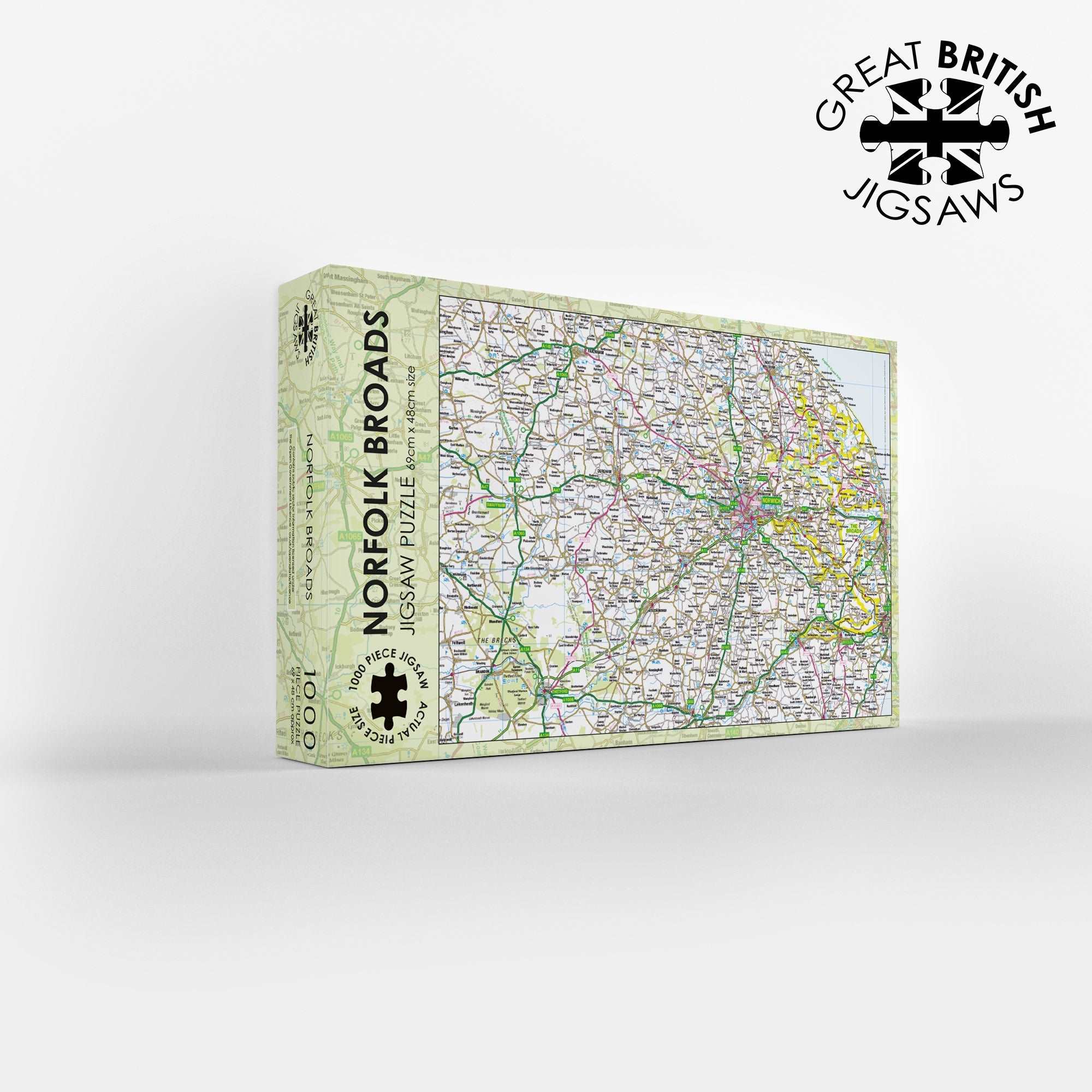
The Norfolk Broads Map 1000 Piece Jigsaw
Navigate the magical waterways of East Anglia with the Pieceful Maps The Broads 1000-Piece Jigsaw Puzzle. The Broads is Britain’s largest protected wetland and is unlike anywhere else in the United Kingdom, featuring a network of shallow, navigable lakes and rivers across Norfolk and Suffolk. This Ordnance Survey map jigsaw offers a unique challenge, using a scale carefully chosen to fit the entire Broads National Park boundary onto a single puzzle. You get a complete overview of this 303 square kilometre waterland, packed with hundreds of place names, rivers, broads, and roads. The scale is the same as a standard roadmap, so you will see the major routes and settlements, but not the hyper detailed footpaths that walkers might need. That makes this puzzle a relaxing and rewarding way to explore this flat, open landscape.
Instead of mountains, you will be piecing together over 125 miles of navigable waterways, including the Rivers Bure, Yare, Waveney, and the Ant. As you sort the 1000 pieces, you will discover the locations of the 63 broads, the shallow lakes that give the park its name. The Ordnance Survey mapping clearly shows the distinction between the open broads, the connecting rivers, and the surrounding marshes and fens. You will spot the famous broads like Wroxham, Hickling, and Horsey, each a haven for wildlife. The map also shows the man-made dykes and channels that drain the land, a testament to centuries of fenland management.
The puzzle includes all the major roads, such as the A47 that crosses the park from west to east and the A12 that runs along the coast. You will spot the charming towns of Wroxham, often called the capital of the Broads, and Beccles, with its riverside quay. The city of Norwich lies just to the north of the park, and the map shows how close the Broads are to this historic cathedral city. You will also see the coastal town of Great Yarmouth, where the rivers Bure and Yare meet the North Sea.
The detailed Ordnance Survey mapping captures the intricate fens, marshes, and woodland edges of this unique national park. This puzzle is perfect for those who love boating, birdwatching, or simply exploring the flat, open landscapes of the East Coast. The scale ensures that the whole park fits neatly onto the 1000 pieces, measuring 69cm by 48cm when completed. It provides a relaxing journey through a landscape rich in history, from the medieval peat digging that created the Broads to the windpumps that still dot the horizon. It is a fantastic challenge for anyone who wants to map the waterways from their living room. Contains public sector information licensed under the Open Government Licence.
Measures: 69cm x 48cm when completed
Contains public sector information licensed under the Open Government Licence – os.uk/opendata/licence