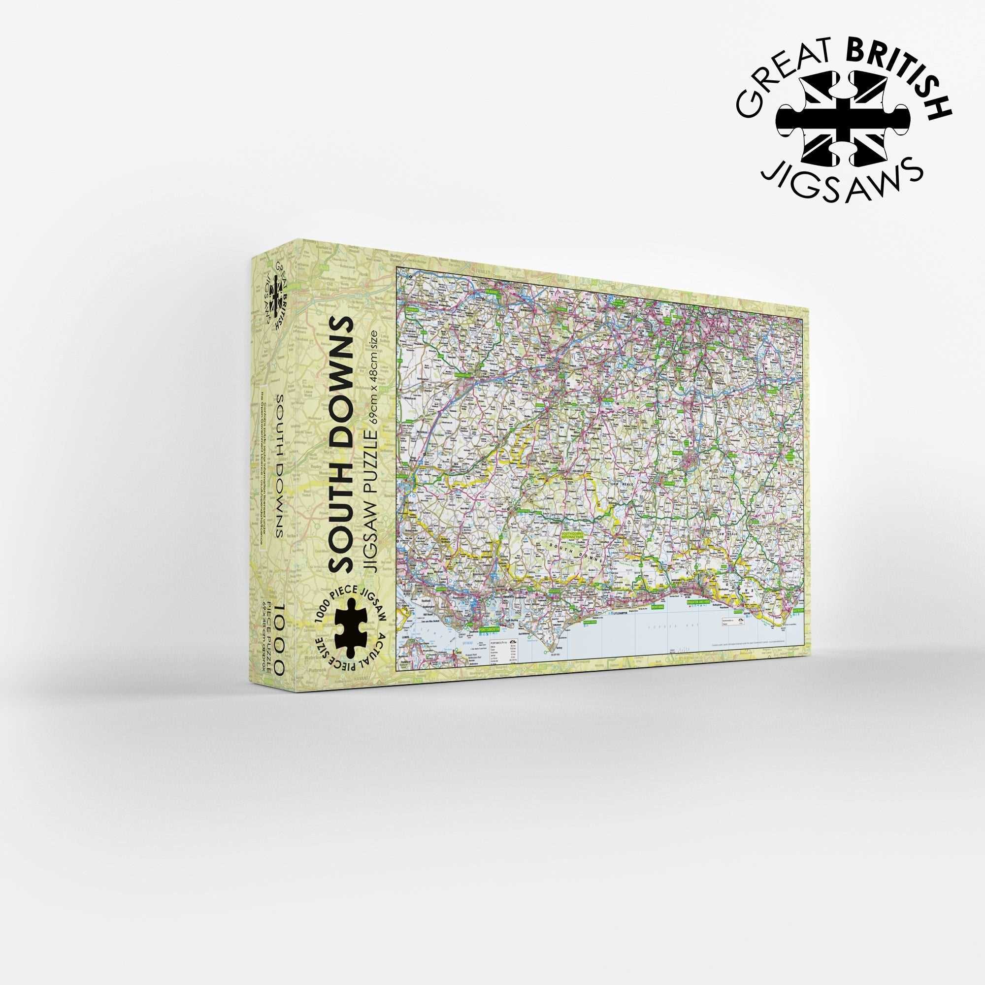
South Downs Map 1000 Piece Jigsaw
Discover the iconic rolling hills of Southern England with the Pieceful Maps South Downs 1000-Piece Jigsaw Puzzle. As one of the newest National Parks, the South Downs stretches from the ancient city of Winchester in the west to the white cliffs of Eastbourne in the east, serving as the green gateway to England. This map jigsaw uses accurate Ordnance Survey data, with a scale carefully chosen to fit the entire South Downs National Park boundary onto a single puzzle. You get a complete overview of this 1,600 square kilometre landscape, packed with hundreds of place names, roads, rivers, and chalk features. The scale is the same as a standard roadmap, so you will see the major routes and settlements, but not the hyper detailed footpaths and contours that walkers might need on the ground. That makes this puzzle a perfect balance of challenge and readability.
As you assemble the 1000 pieces, you will traverse the famous South Downs Way, a long-distance path that runs the length of the park. The Ordnance Survey mapping clearly shows the spine of chalk hills that rise steeply from the south and slope gently to the north. You will climb the escarpment at places like Devil’s Dyke and Ditchling Beacon, both clearly marked on the map. The puzzle captures the brilliant white of the Seven Sisters cliffs, juxtaposed against the deep green of the ancient woodland and heathland of the Weald to the north. You will see the Cuckmere River meandering its way to the sea, a classic example of a meandering river valley.
The map includes all the major roads, such as the A27 that runs along the foot of the downs and the A272 that crosses the park from east to west. You will spot the charming towns of Midhurst, Petworth, and Arundel, with its stunning castle. The city of Winchester, with its cathedral, marks the western end of the park, while the seaside town of Eastbourne and the iconic Beachy Head lighthouse mark the eastern end. The puzzle also shows the many rivers that cut through the chalk, including the Arun, the Adur, and the Ouse, which flows through the county town of Lewes.
This is a perfect way to experience the great outdoors from your sofa. The Ordnance Survey mapping ensures that every sunken lane, windmill, and ancient burial mound is represented at the appropriate scale. The puzzle is a relaxing and engaging activity for a weekend afternoon and a brilliant gift for anyone who loves the South Coast, from day trippers to serious ramblers. When completed, this 1000-piece puzzle measures 69cm by 48cm, creating a stunning map that you will want to display. Contains public sector information licensed under the Open Government Licence.
Measures: 69cm x 48cm when completed
Contains public sector information licensed under the Open Government Licence – os.uk/opendata/licence